
Topographic Maps of Gatineau Park
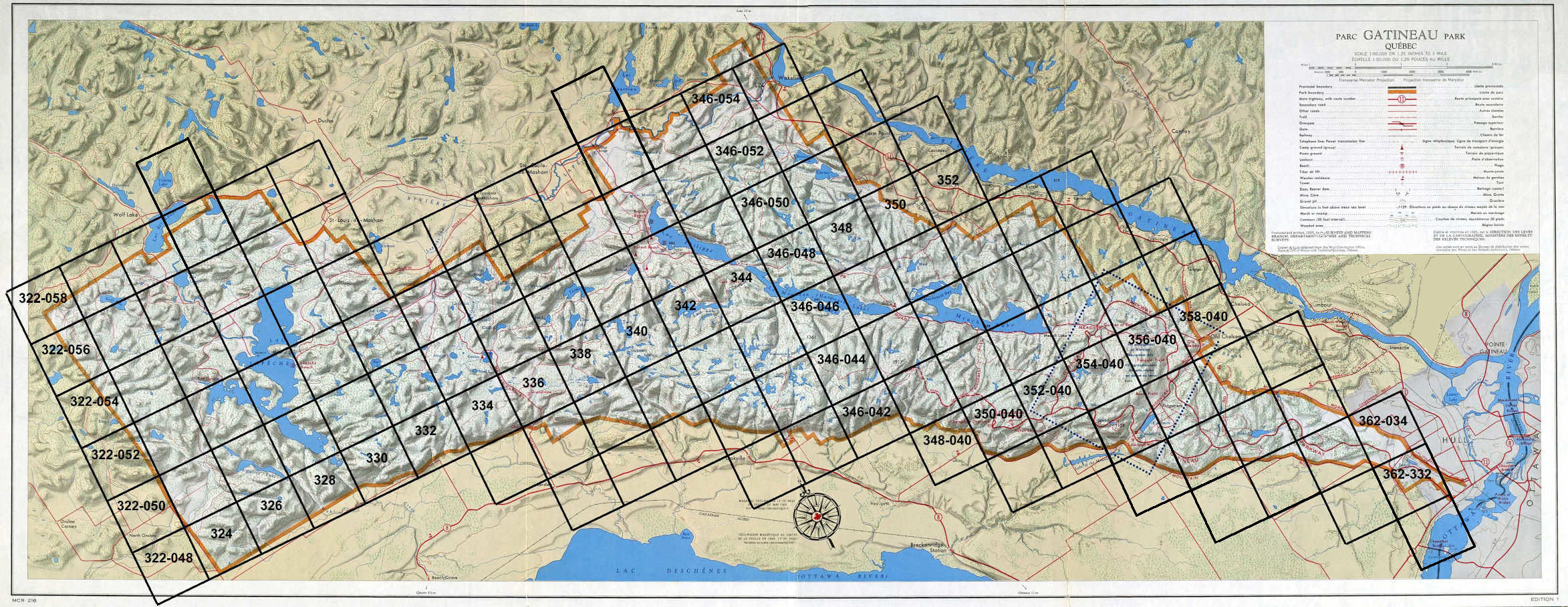
Grid Map
The 1: 2 500 Topographic Series of Gatineau Park consists of approx. 130 sheets. The maps were compiled by General Photographic Services Ltd., Ottawa, by photogrammetric methods using air photographs taken in 1966 by Capital Air Surveys Ltd., Ottawa.
The digital images in this section were produced by Bill McGee from microfiche reproductions held at Library and Archives Canada (Mikan 138224).
Click on a grid area to select topographical map.
Zoom :